[Source – sourcingjournal.com]
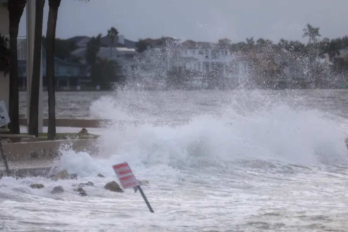
Hurricane Helene made landfall on Thursday night, unleashing a devastating blow on Florida’s Gulf Coast. The storm, which rapidly intensified from a Category 2 to a Category 4 hurricane, has left communities bracing for its impacts. According to Dr. Mark DeMaria, a senior research scientist at the Cooperative Institute for Research in the Atmosphere (CIRA) at Colorado State University, this storm is a rare and dangerous event. “It’s really intensified rapidly today,” DeMaria remarked, emphasizing Helene’s unpredictability and strength.
DeMaria, who has years of experience tracking and studying hurricanes, explained that CIRA uses advanced models to analyze storms like Helene. The institute focuses on gathering data to predict the intensity, wind probabilities, and time of arrival of such storms. Unlike the National Hurricane Center in Miami, where real-time decisions are made, CIRA takes a broader approach, studying how these storms evolve and behave over time.
Warmer Waters Fuel Hurricane Helene’s Power
Helene’s rapid intensification is fueled by the unusually warm waters of the Gulf of Mexico. September is typically a time when the Gulf’s waters are warm, but this year, they are even hotter. “The Gulf of Mexico is usually already very warm in September. And this year it’s a degree or two warmer than it usually is,” DeMaria said. He also noted that global ocean temperatures are rising, possibly due to climate change, which may be contributing to the increasing intensity of hurricanes like Helene.
Experts are particularly concerned about the storm surge that Helene will bring. Forecasters predict that the surge could reach heights of 15 to 20 feet, potentially causing widespread coastal flooding. This level of surge, equivalent to the height of a two-story building, poses a severe threat to the Gulf Coast’s low-lying areas. DeMaria also warned that the storm’s force could extend inland, affecting areas as far as Atlanta, Georgia, which could experience near-hurricane force winds.
Potential Inland Destruction and Future Lessons
While Florida’s coastal regions are the immediate focus, the storm is expected to travel far beyond the Gulf. According to DeMaria, Helene could still be a powerful force when it reaches Atlanta, an area not accustomed to hurricanes of this magnitude. “There’s a good chance it will still pack near hurricane-force winds when it reaches Atlanta,” he said. The city could suffer extensive damage from falling trees, as saturated soil and strong winds combine to create hazardous conditions.
Further north, in the Tennessee Valley, the storm might encounter a weather anomaly, potentially stalling and unleashing torrential rains. DeMaria explained, “That is basically kind of an eddy in the jet stream. So Hurricane Helene is going right up the side of that.” If the storm does stall, the region could experience significant flooding, further compounding the damage.
Although the storm’s full impact is yet to be felt, there is no doubt that Hurricane Helene will be a catastrophic event for many. DeMaria noted that while there is much to learn from this hurricane, the lessons will come at a painful cost. “This one really has everything,” he concluded, reflecting on the storm’s power and the challenges it presents for future hurricane preparedness.


